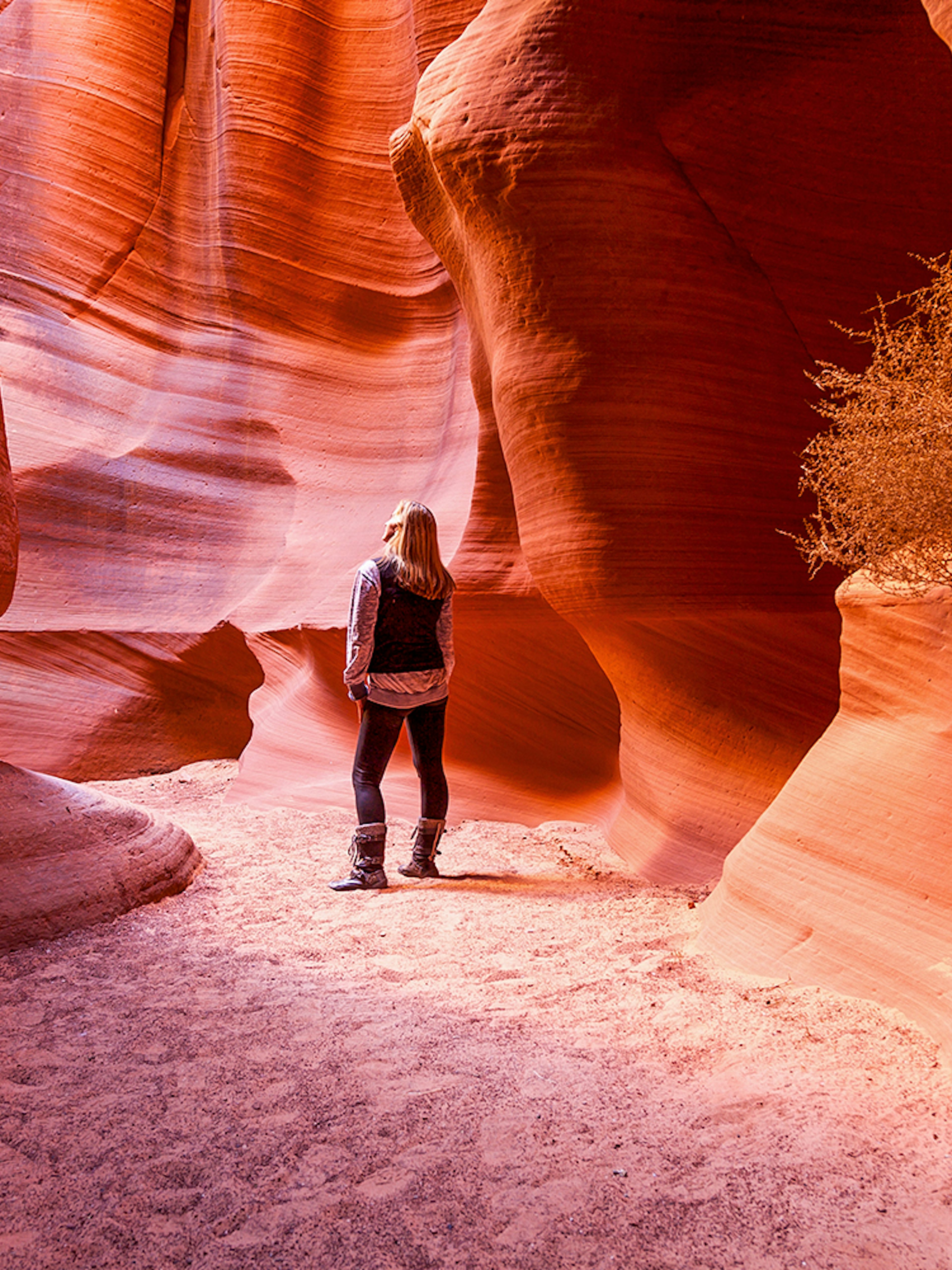
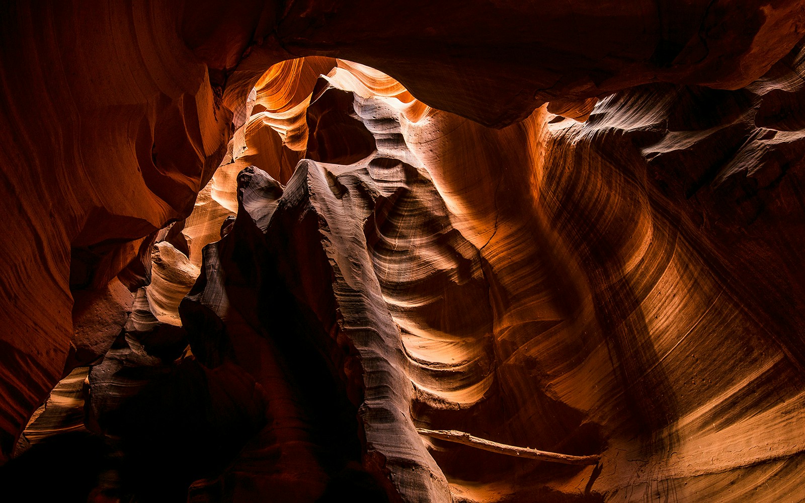
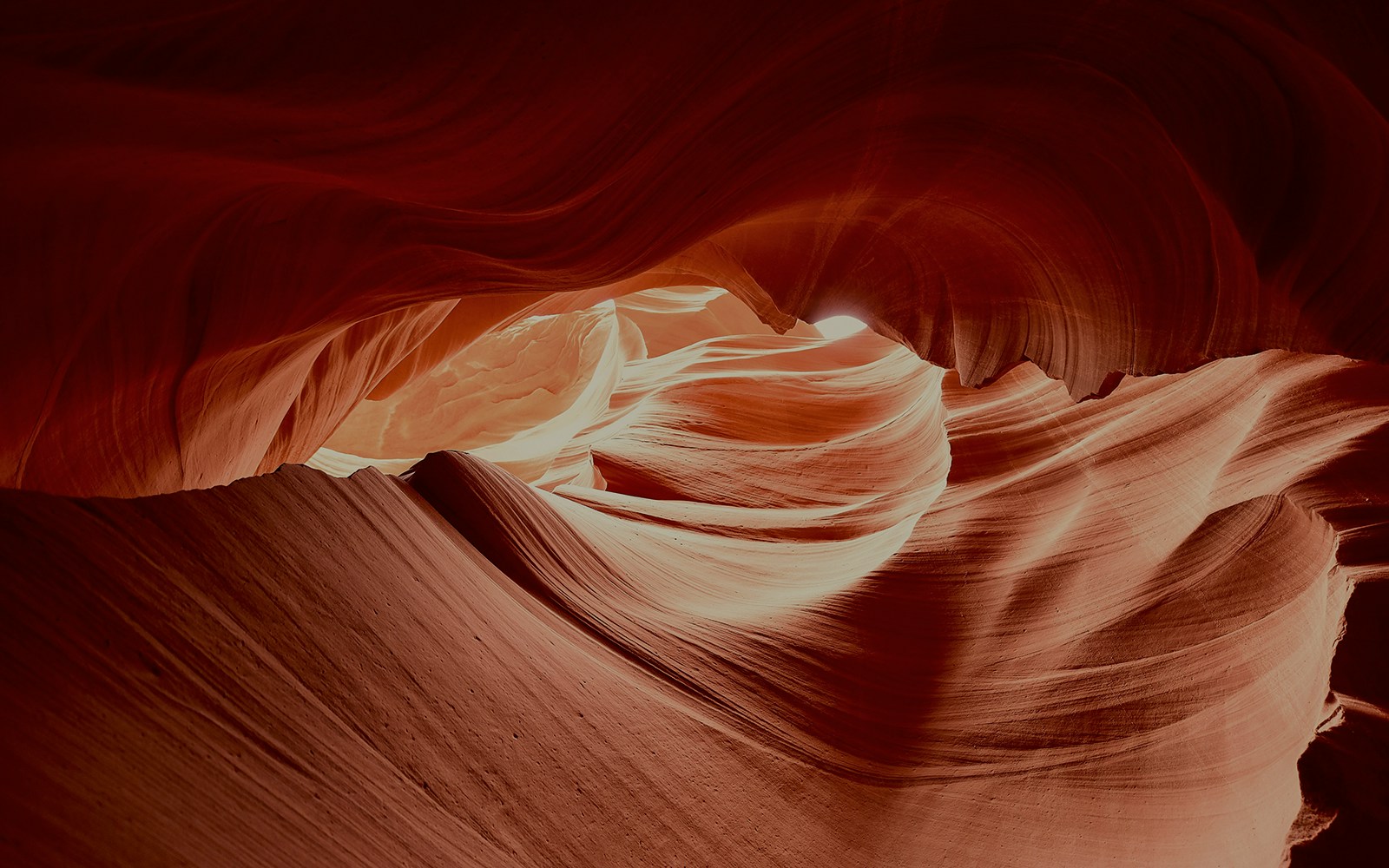
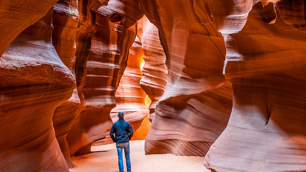
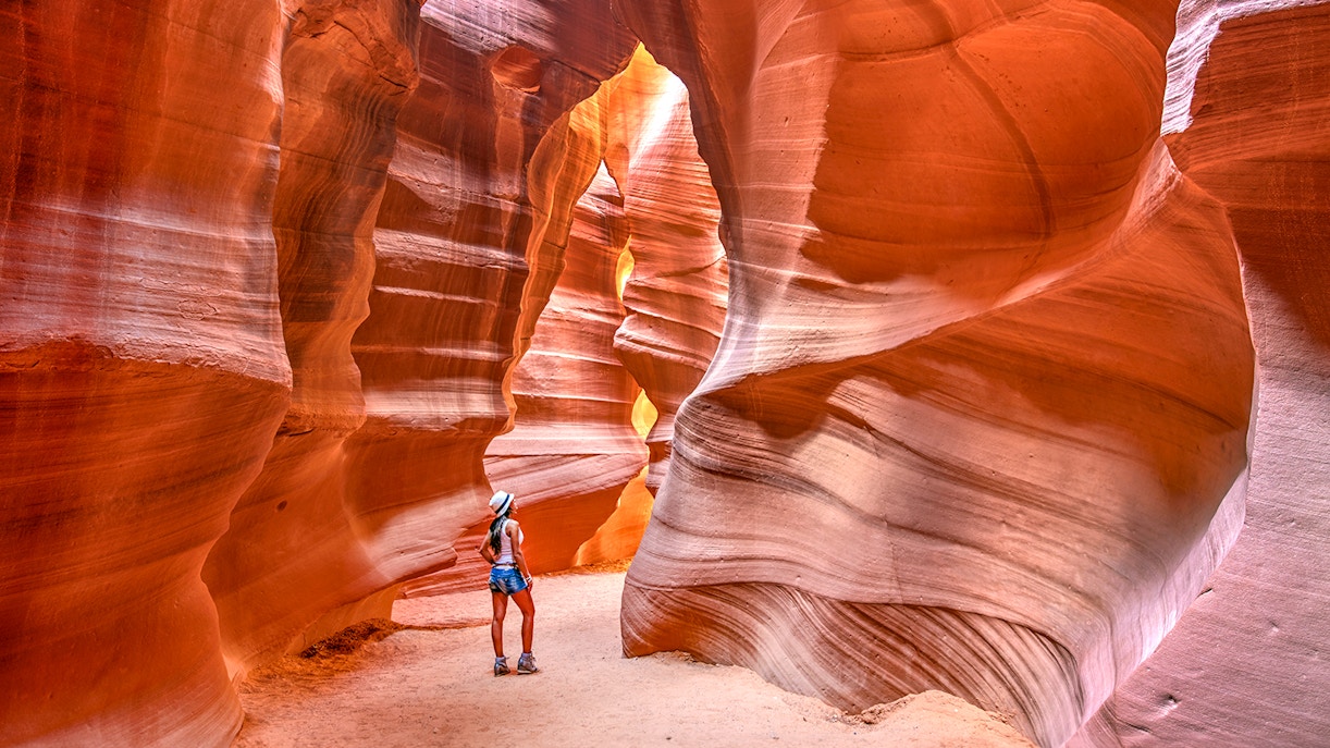
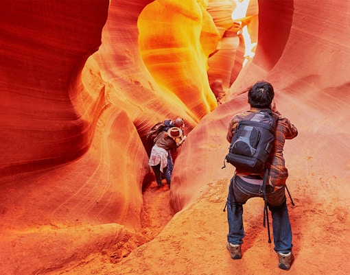
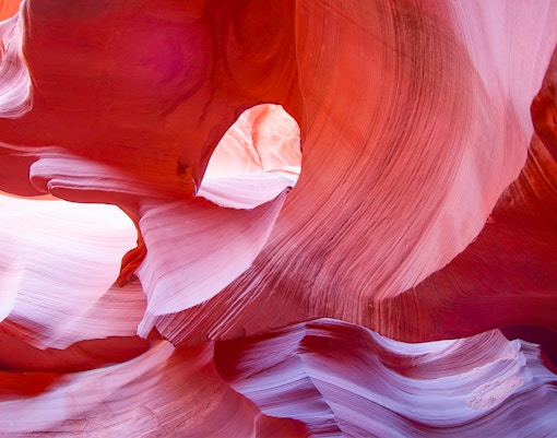
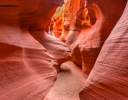
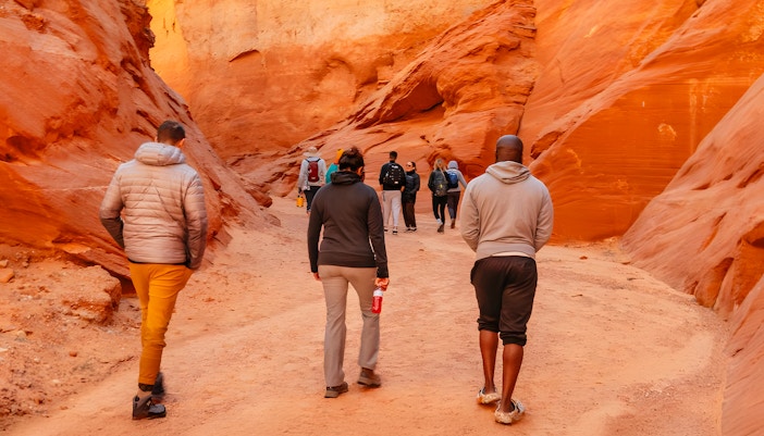
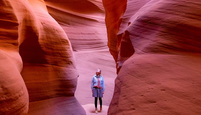
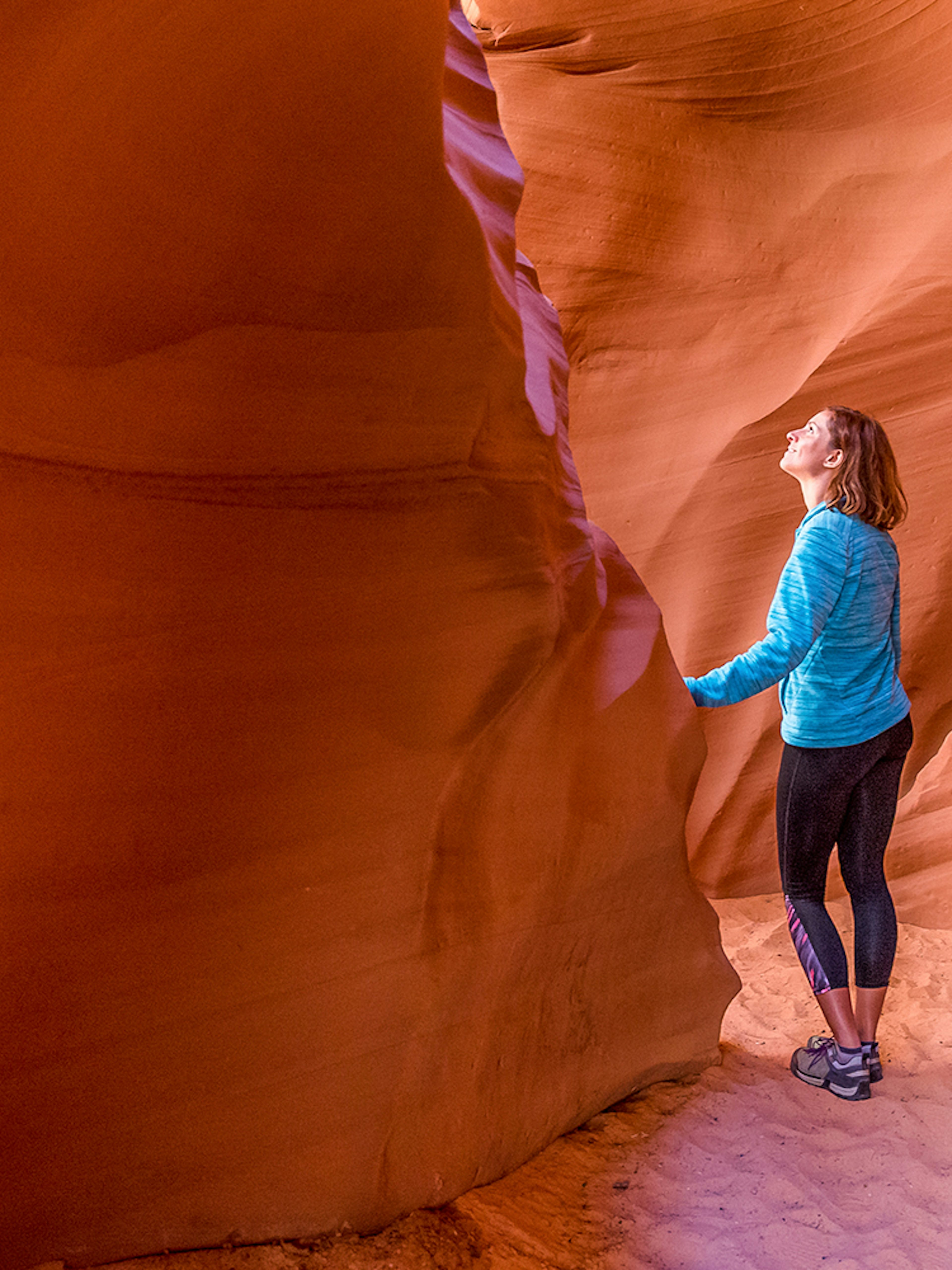
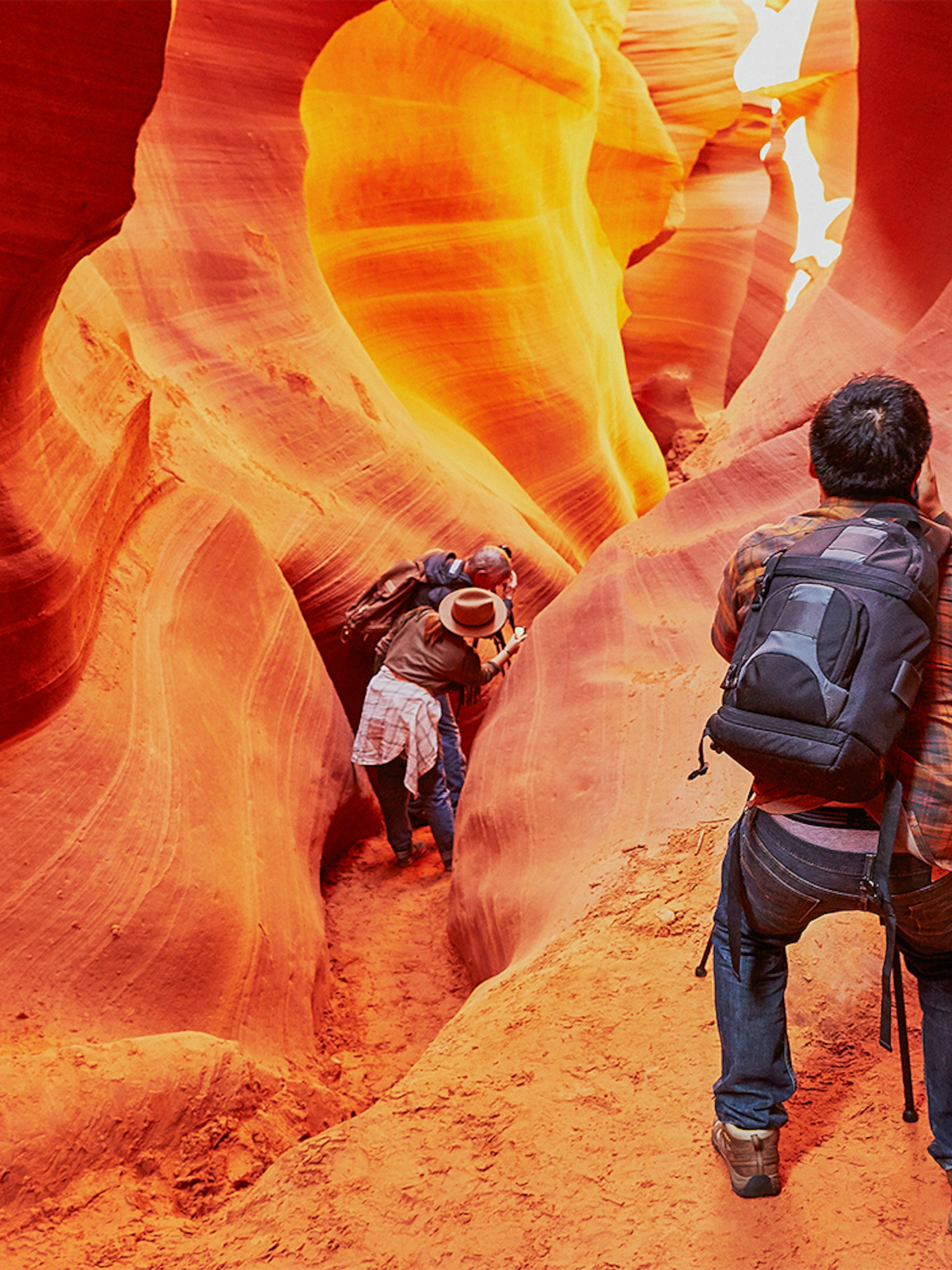
Visit the most photographed slot canyons in the world, with a Navajo guide offering insights into the geology, history, culture, and legends of the land.
- Everything you get: A tour of a section of Antelope Canyon with a local Navajo tribe member as a guide. Choose between Upper, Lower, Antelope Canyon X, Ligai Si Anii Canyon, and Mystical Antelope Canyon. Each section offers its own unique journey, views, and perspective of the slot canyons, along with historic, geological, & local insights provided by your guide. Your ticket also includes the Navajo Park permit fee.
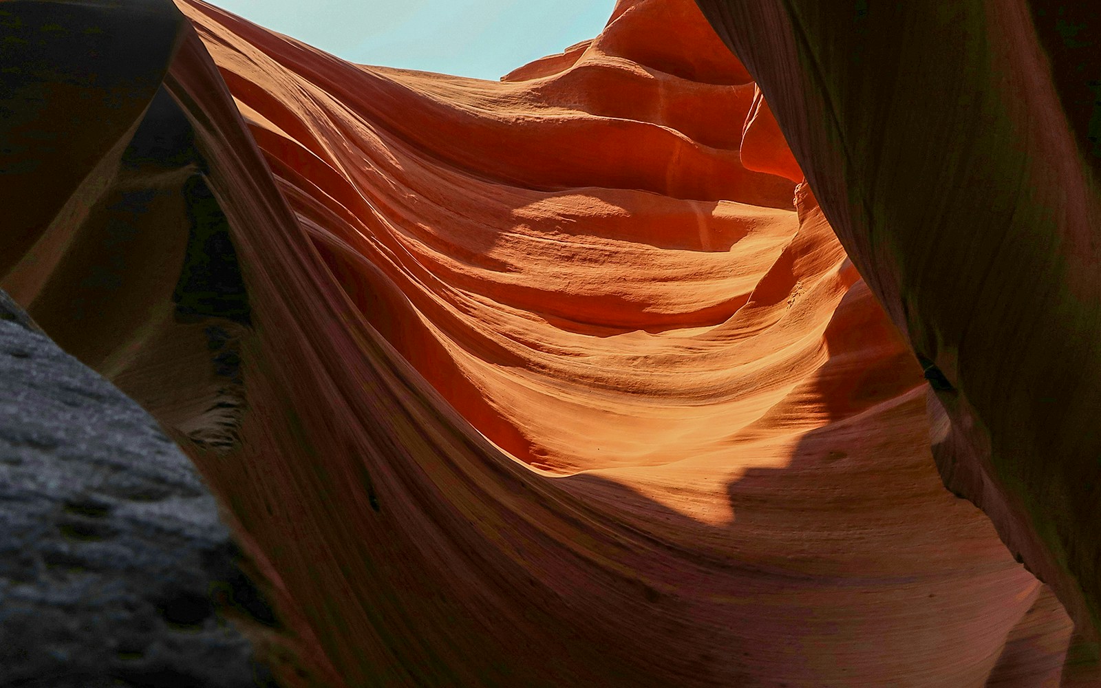
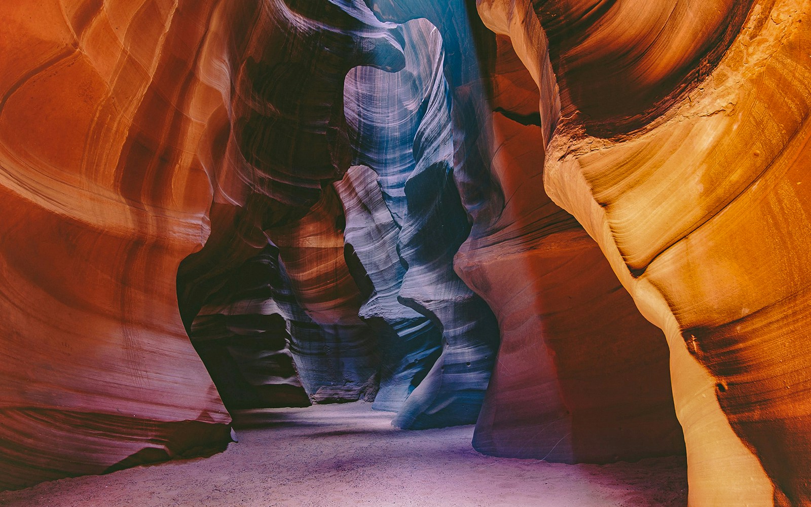
- Why choose this: Choose between 5 sections of Antelope Canyon, each equally mesmerizing, and enjoy an immersive exploration of the slot canyons with your Navajo guide.
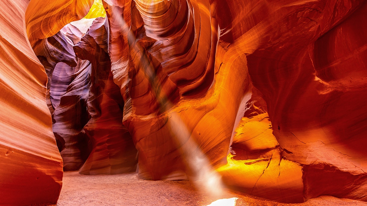
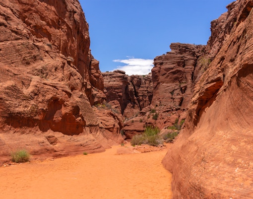
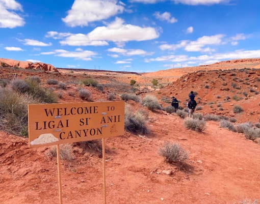
- Upgrades: Choose between one of 5 sections: Upper Antelope Canyon, known for its famous light beams, Lower Antelope Canyon, for an adventurous tour of the beautiful rock formations, Antelope Canyon X for a scenic & serene exploration, Ligai Si Anii Canyon for smoother, curved slot canyon views, or Mystical Antelope Canyon for an adventurous climb to a breathtaking wave-like slot canyon.
-03.jpg?auto=compress%2Cformat&crop=faces&fit=crop&w=3840&q=50)
-04.jpg?auto=compress%2Cformat&q=90&crop=faces&fit=crop)


-05.jpg?auto=compress%2Cformat&ar=3%3A4&crop=faces%2Ccenter&fit=crop&w=3840&q=60)
-08.jpg?auto=compress%2Cformat&ar=3%3A4&crop=faces%2Ccenter&fit=crop&w=3840&q=60)