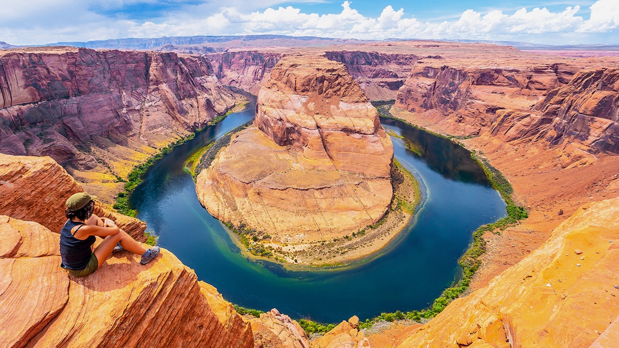
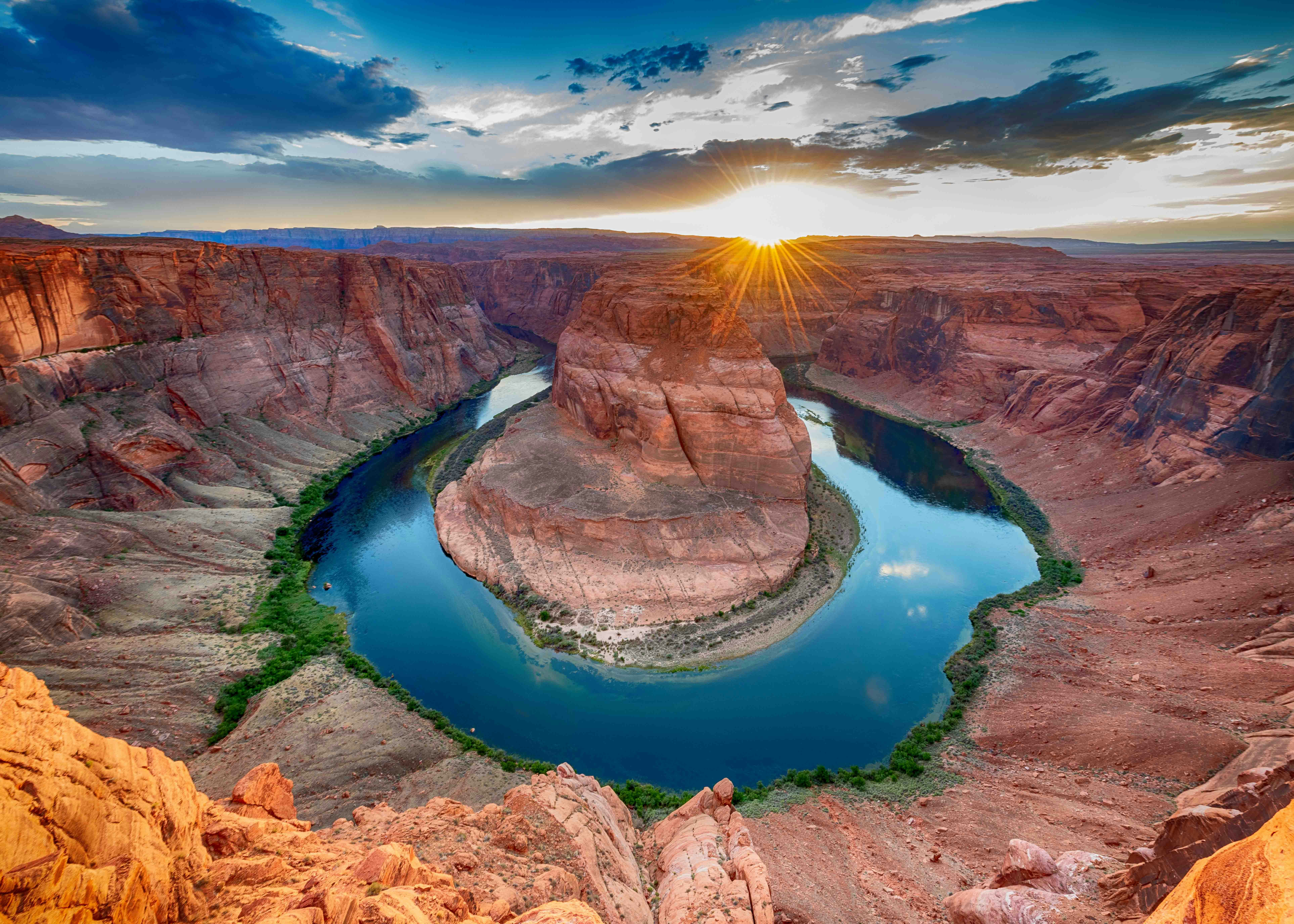
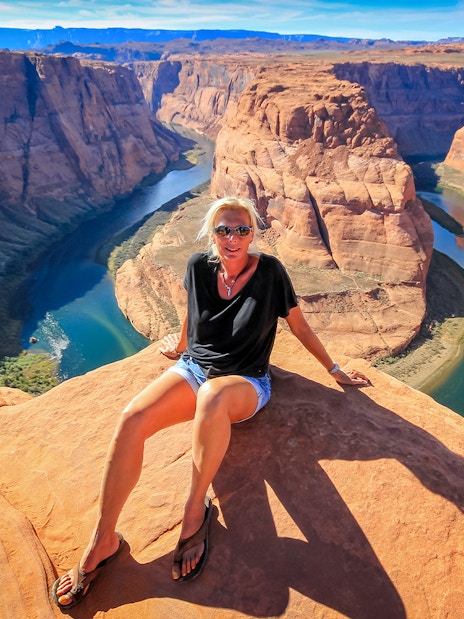
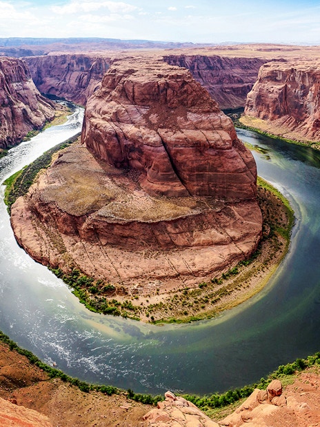
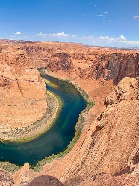
- Distance from Page, AZ: 4.8 miles
- Typical travel time: 15-minute drive
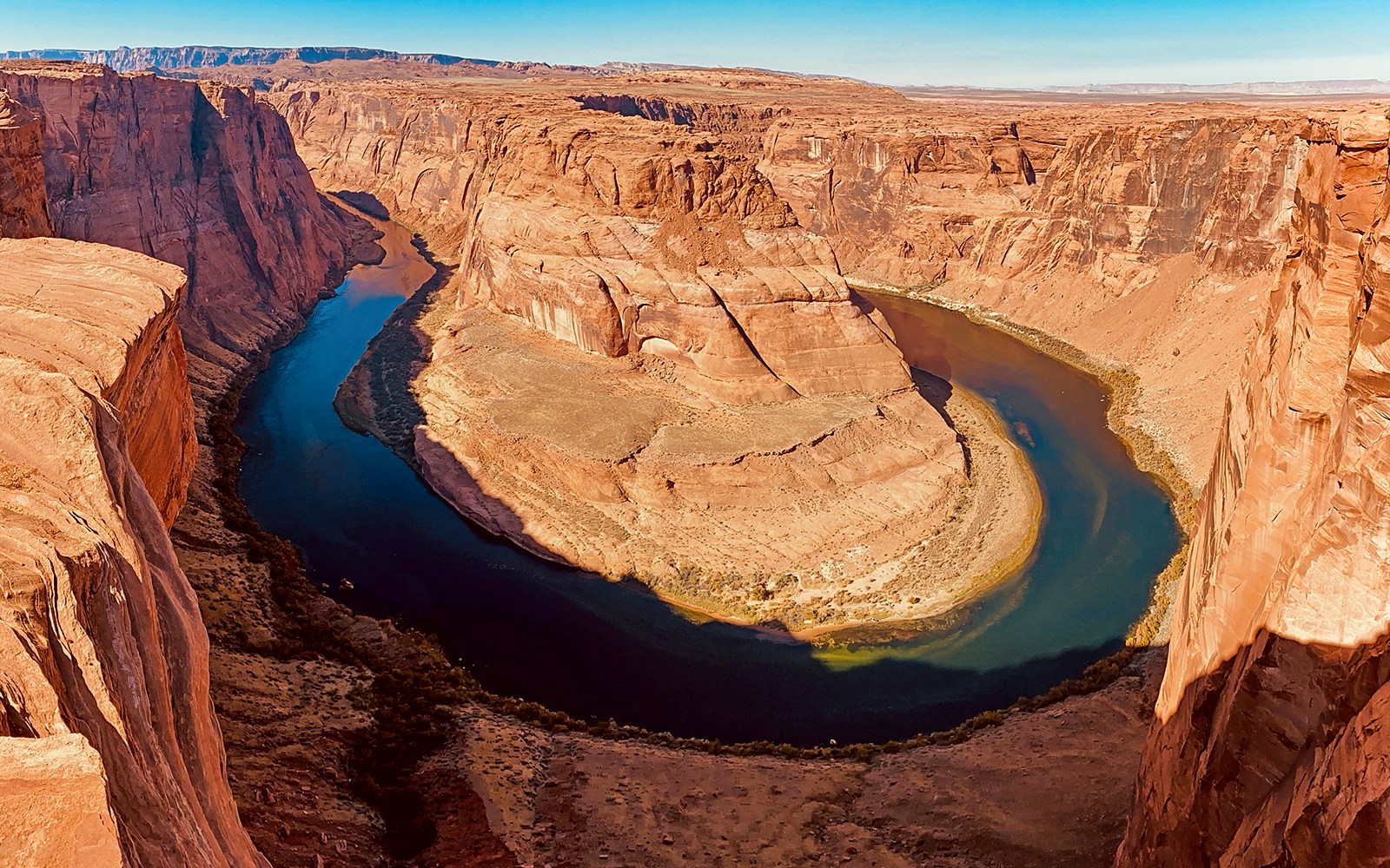
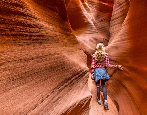
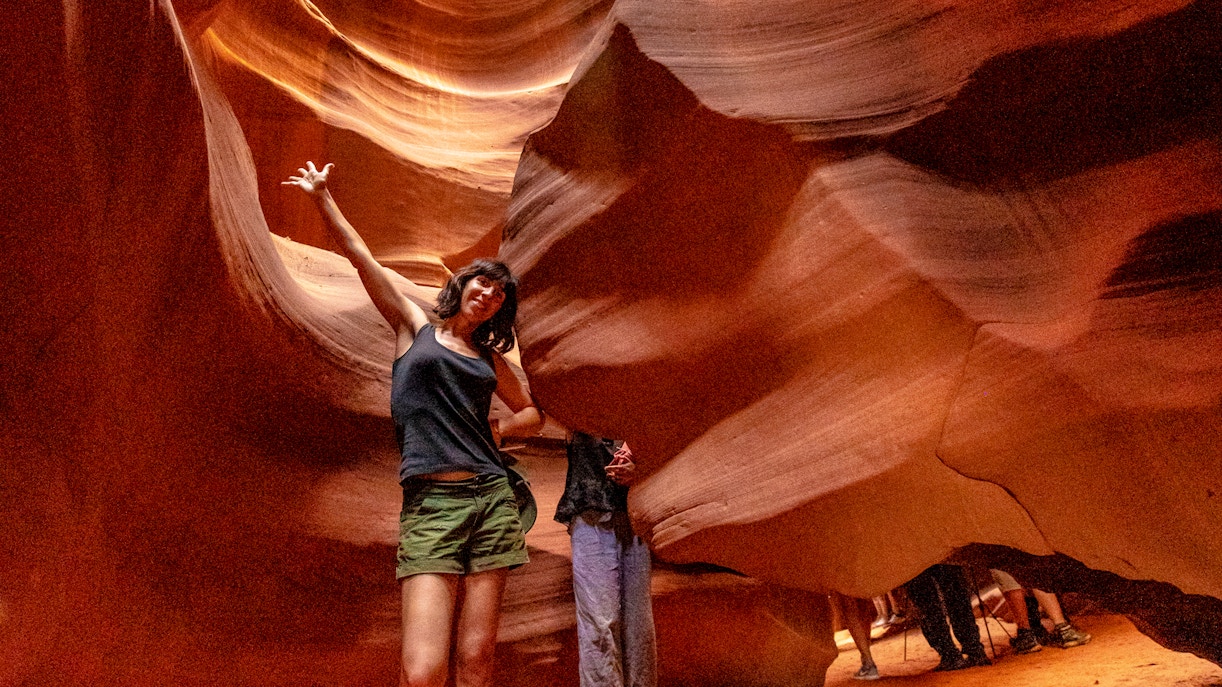
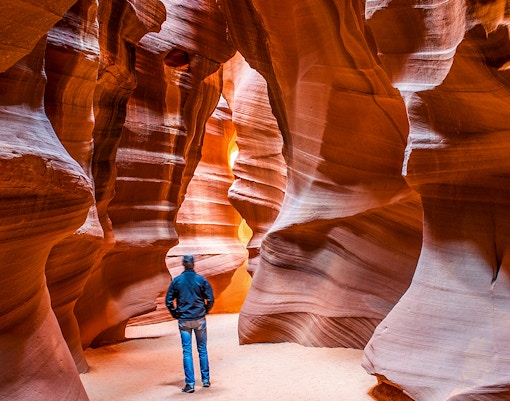
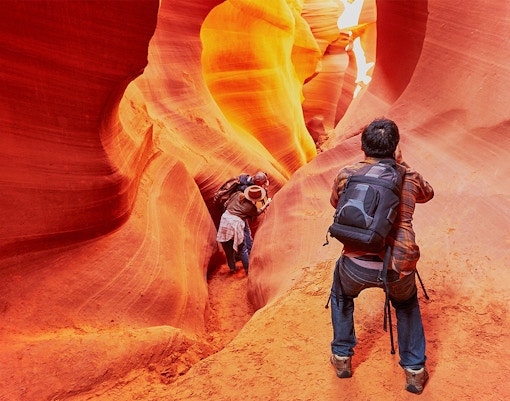
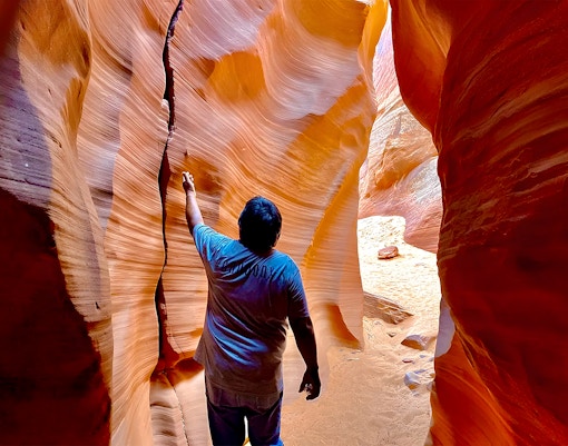
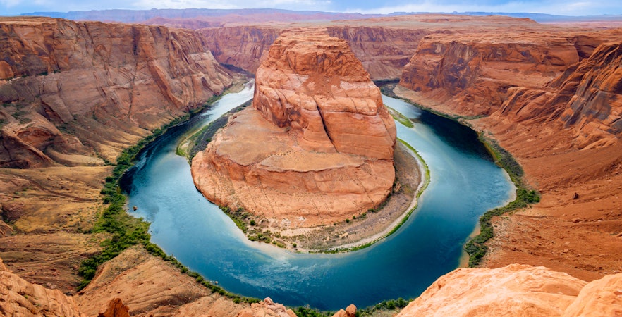
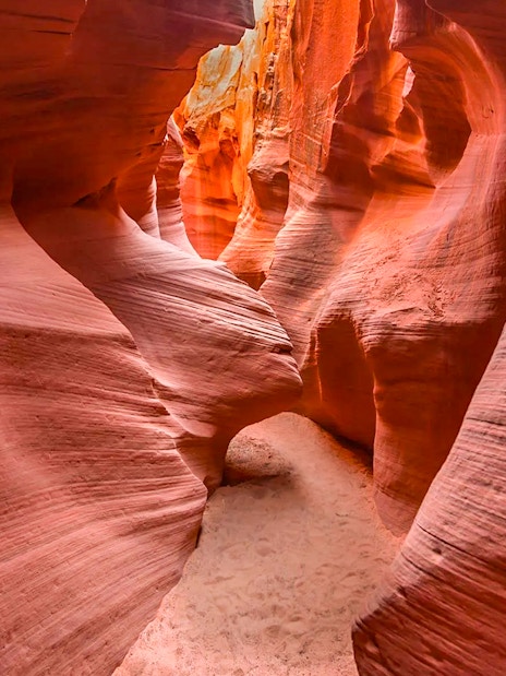
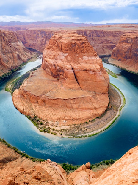
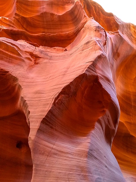
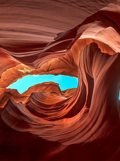
- Layout: A meander with sandstone cliffs, created by the flow of the Colorado River over millions of years
- Elevation: 1,000 feet (300 meters) deep
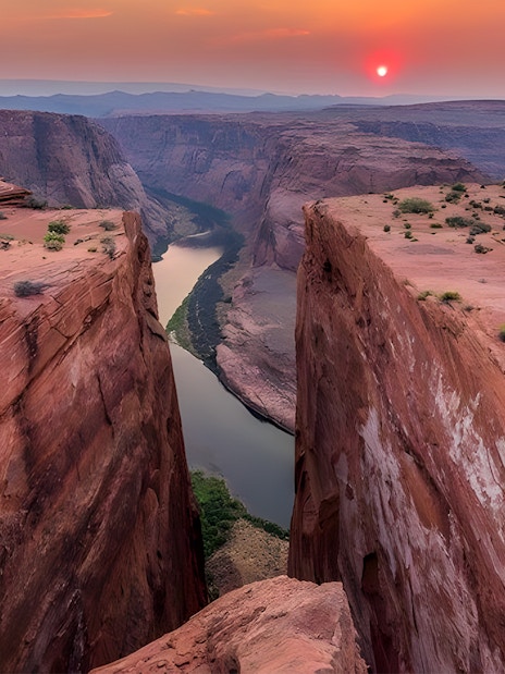
- Elevation from Horseshoe Bend Overlook: 4,200 feet (1,300 meters) deep
- Width: 4,200 feet (1,280 meters) wide at its widest points
- Curvature of the Colorado River: 270-degree curve around the meander
From happy customers
Loved by 48 million+
Trustpilot rating: 4.5 out of 5
Tedgelique
United StatesFeb 2026


Stephanie
United StatesDec 2025


Priyanka
United StatesFeb 2026


Aimee
United StatesFeb 2026


Kelly
United StatesFeb 2026


Brittany
United StatesDec 2025


Jonathan
United StatesFeb 2026


+2 more
Mark
United StatesJan 2026

Trusted by over 48M guests worldwide
100% booking protection
You are fully protected end-to-end. If anything is off, we'll fix it or refund you.
Know moreEnjoy flexible bookings
Book stress-free with free cancellation and pay-later options.
24/7 trip support
We're always a tap away - before, during and after your trip, in all languages.
Verified reviews from real travellers. Trusted by guests worldwide.


-07.jpg?auto=format&w=1222.3999999999999&h=687.6&q=90&ar=16%3A9&crop=faces&fit=crop)


-04.jpg?auto=format&w=828&h=619.1999999999999&q=90&ar=3%3A4&crop=faces%2Ccenter&fit=crop)
-08.jpg?auto=format&w=828&h=619.1999999999999&q=90&ar=3%3A4&crop=faces%2Ccenter&fit=crop)
-06.jpg?auto=format&w=828&h=619.1999999999999&q=90&ar=3%3A4&crop=faces%2Ccenter&fit=crop)
-05.jpg?auto=format&w=828&h=619.1999999999999&q=90&ar=3%3A4&crop=faces%2Ccenter&fit=crop)
-07.jpg?auto=format&w=828&h=619.1999999999999&q=90&ar=3%3A4&crop=faces%2Ccenter&fit=crop)