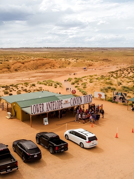
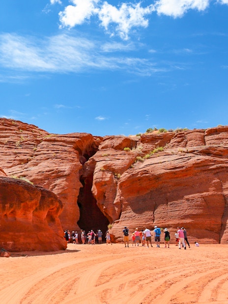
- Entfernung von Page, AZ: 4.5 miles
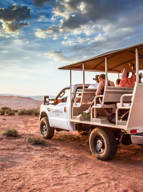
- Typische Reisezeit: 10-minütige Fahrt
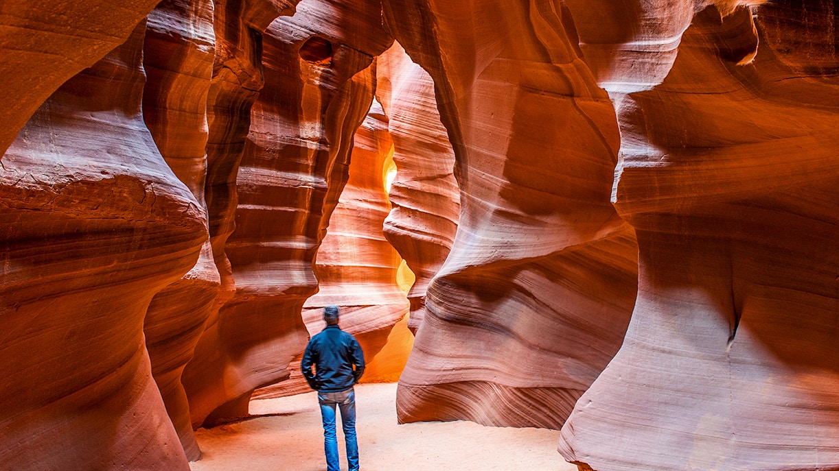
- Dauer der Tour: 60-90 Minuten
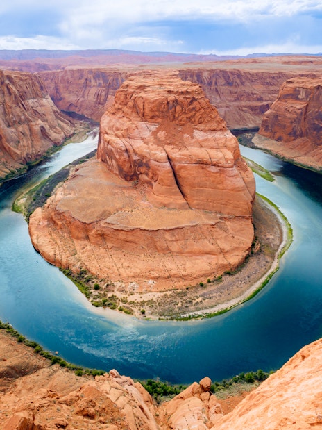
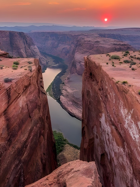
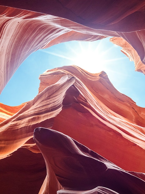
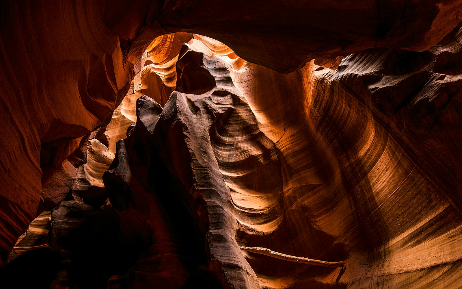
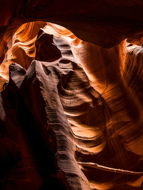
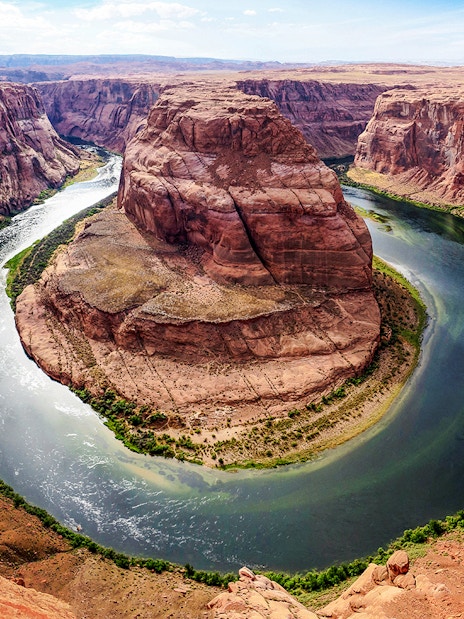
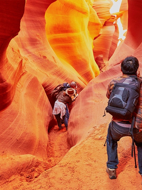
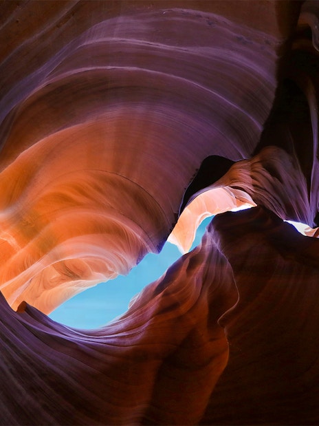
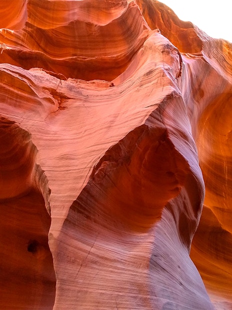
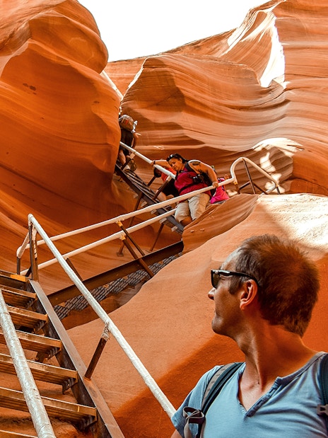
- Höhe: Bis zu 120 Fuß über dem Flussbett
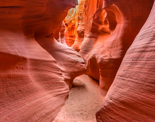
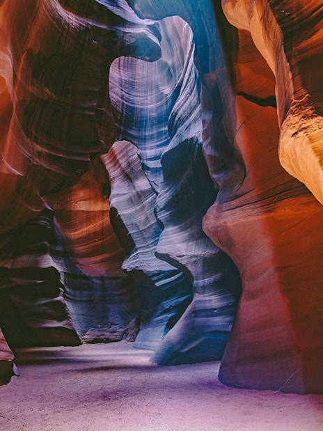
- Layout: Ähnelt dem Buchstaben "A", der an der Basis breiter und nach oben hin schmaler wird
- Elevation: 4.000 Fuß
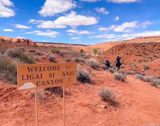
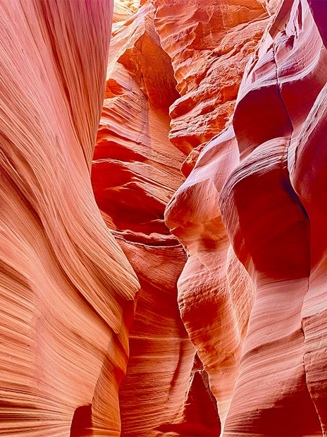
- Navajo-Name: "Tsé bighánílíní", was übersetzt "der Ort, an dem das Wasser durch die Felsen fließt" bedeutet.
Von glücklichen Gästen
Über 49 Millionen Gäste
Trustpilot rating: 4.5 out of 5
Tedgelique D
Vereinigte StaatenPaar


Stephanie A
Vereinigte StaatenPaar


Priyanka M
Vereinigte StaatenAlleinreisend


Aimee N
Vereinigte StaatenGruppe


Kelly B
Vereinigte StaatenPaar


Brittany O
Vereinigte StaatenGruppe


Jonathan W
Vereinigte StaatenPaar


+2 weitere
Mark C
Vereinigte StaatenGruppe

-03.jpg?auto=format&q=90&crop=faces&fit=crop)
-01.jpg?auto=format&q=90&crop=faces&fit=crop)
-02.jpg?auto=format&q=90&crop=faces&fit=crop)
-04.jpg?auto=format&q=90&crop=faces&fit=crop)


-04.jpg?auto=format&w=828&h=619.1999999999999&q=90&ar=3%3A4&crop=faces%2Ccenter&fit=crop)
-05.jpg?auto=format&w=828&h=619.1999999999999&q=90&ar=3%3A4&crop=faces%2Ccenter&fit=crop)

-06.jpg?auto=format&w=828&h=619.1999999999999&q=90&ar=3%3A4&crop=faces%2Ccenter&fit=crop)
-07.jpg?auto=format&w=828&h=619.1999999999999&q=90&ar=3%3A4&crop=faces%2Ccenter&fit=crop)
-08.jpg?auto=format&w=828&h=619.1999999999999&q=90&ar=3%3A4&crop=faces%2Ccenter&fit=crop)